

MH370: What Inmarsat’s Satellite Data Reveals About the Missing Flight
It’s been nearly 12 years since Malaysia Airlines Flight 370 vanished into the night, leaving the world with the biggest aviation mystery in history. But here’s the kicker: as of January 2026, ships are back in the water. The search for MH370 has officially resumed, fueled by a “no cure, no fee” deal and a renewed belief that the wreckage is waiting to be found.
Why the confidence? It all comes down to a trail of digital breadcrumbs left behind by a satellite named Inmarsat-3 F1.
If you’ve ever wondered how a massive Boeing 777 can disappear in the modern age—and how scientists tracked it to the most remote corner of the Indian Ocean without a single radar blip—you’re in the right place. Let’s break down the math, the mystery, and the “handshakes” that define the hunt for the missing plane.
The Night the Lights Went Out
To understand the data, we have to rewind to March 8, 2014. MH370 took off from Kuala Lumpur, headed for Beijing. It was a red-eye flight, routine in every way. Then, at 1:19 AM, the pilot (or co-pilot) signed off with, “Good night Malaysian Three Seven Zero.”
Minutes later, the plane’s transponder was manually turned off.
On civilian radar screens, the blip vanished. The plane was invisible to air traffic control. But it wasn’t invisible to physics. While the crew—or someone in the cockpit—shut down the main communication systems, they left one system on standby: the Satellite Data Unit (SDU).
Think of the SDU like your phone’s background data. Even when you aren’t sending a text, your phone occasionally checks in with the nearest cell tower to say, “I’m still here.” MH370 did the exact same thing, but instead of a cell tower, it pinged a satellite sitting 22,000 miles above the Indian Ocean.

The Electronic Handshake: Searching in the Dark
For six hours after it disappeared from radar, MH370 flew on. We know this because the SDU sent automated signals, known as “handshakes,” to the Inmarsat ground station in Perth, Australia.
These weren’t GPS coordinates. They were simple “log-on” requests. Imagine knocking on a door once an hour just to let someone know you’re alive. That’s what MH370 did.

Engineers at Inmarsat had to perform a mathematical miracle. They used two specific pieces of metadata from these handshakes to reconstruct the plane’s path: BTO and BFO.
1. BTO: The “How Far” Clue
Burst Timing Offset (BTO) measures how long it took for the signal to get from the plane to the satellite and back to the ground station.
Since radio waves travel at the speed of light, measuring the time delay tells you the distance. If you know the plane is exactly X miles away from the satellite, you can draw a giant circle on the globe. The plane had to be somewhere on that circle.
Inmarsat had seven distinct handshakes. Each one created a new circle, or “arc,” narrowing down the plane’s distance from the satellite hour by hour.
2. BFO: The “Which Way” Clue
Knowing the distance wasn’t enough. The plane could have been on the northern part of the circle (Kazakhstan) or the southern part (Indian Ocean). Enter Burst Frequency Offset (BFO).
This is where the Doppler Effect comes in. You know how a siren sounds higher pitched as an ambulance drives toward you and lower as it drives away? Radio waves do the same thing. By analyzing the tiny shifts in the signal’s frequency, engineers could tell if MH370 was flying toward or away from the satellite.
The verdict: The data showed the plane was moving away from the satellite in a way that only matched a path into the southern Indian Ocean. The “Northern Route” theory was dead. The plane went south.
The 7th Arc: The Final Resting Place
The most chilling piece of data is the 7th arc.
At 00:19 UTC (8:19 AM local time), the satellite received a final, incomplete handshake. This wasn’t a scheduled check-in. Experts believe this was the moment the plane ran out of fuel. The engines flamed out, the autopilot disengaged, and the emergency power unit (RAT) likely kicked on, triggering one last desperate “boot up” signal.

This final ping places the aircraft on the 7th arc, a curved line stretching across the southern Indian Ocean. This is the “X” on the treasure map.
Why Haven’t We Found It Yet?
If we know the arc, why is the plane still missing?
- The Arc is Huge: The 7th arc is hundreds of miles long.
- The “End of Flight” Scenario: Did the plane spiral into a high-speed dive (crashing right on the arc), or did a pilot glide it for another 100 miles (crashing well beyond the arc)?
- The Terrain: The search area, known as “Broken Ridge,” is a geological nightmare of underwater volcanoes, deep trenches, and jagged cliffs.
2026 Update: The Search Resumes
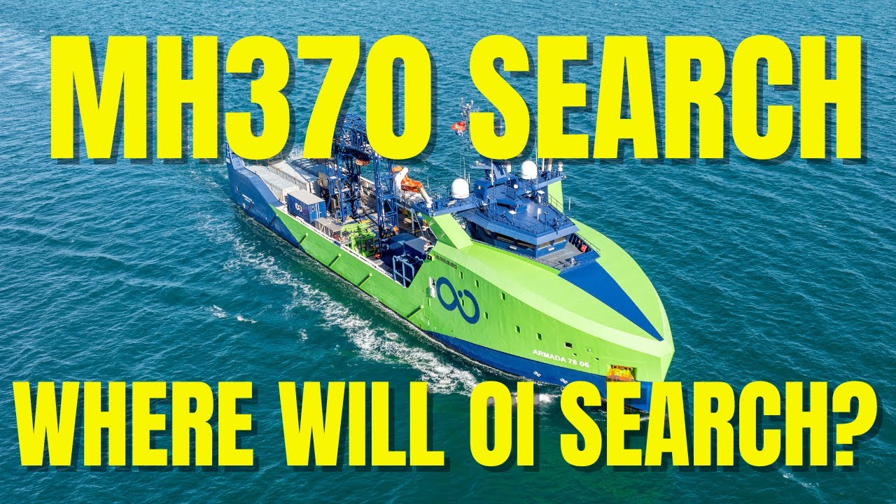
Fast forward to today. After years of silence, the hunt is back on. In late 2025, the Malaysian government gave the green light to Ocean Infinity, a US-based seabed exploration company, to resume the search.
Using a fleet of autonomous underwater vehicles (AUVs), they are scanning a new priority zone. This zone is based on refined Inmarsat data and new “WSPR” (Weak Signal Propagation Reporter) analysis, which suggests the crash site might be slightly further south than previously thought.
The deal is straightforward: No Cure, No Fee. If Ocean Infinity finds the wreckage, they get paid (reportedly around $70 million). If they don’t, they walk away with nothing.
What the Debris Told Us
While the main wreckage remains elusive, the ocean has given up some secrets. Over 30 pieces of debris have washed up on the shores of Africa and islands like Réunion.
- The Flaperon: Found in 2015, this wing part was confirmed to be from MH370. Its damage patterns suggested the plane was not in a controlled landing but likely crashed at high speed.
- Drift Analysis: The location of these debris finds matches the ocean current models if the plane crashed along the 7th arc. It’s physical proof backing up the digital satellite data.
MH370 FAQ’s
Got questions? We’ve got answers. Here is the quick breakdown of the most common questions surrounding the MH370 mystery, the Inmarsat data, and the status of the hunt in 2026.
How did Inmarsat track MH370 if the transponder was off?
While the main transponder (which talks to air traffic control) was switched off manually, the plane’s Satellite Data Unit (SDU) remained in “standby” mode. Think of it like a sleeping laptop that still checks for Wi-Fi. Once an hour, the SDU sent a “log-on” request—a simple electronic handshake—to the Inmarsat-3 F1 satellite. Engineers used these pings to calculate the plane’s distance from the satellite at specific times.
How do we know MH370 went south and not north?
This was the biggest breakthrough in the investigation. Engineers analyzed the Burst Frequency Offset (BFO), which is a fancy way of measuring the Doppler Effect.
You know how a train sounds different when it’s coming toward you versus going away? Radio waves do the same thing.
If the plane went North (towards Kazakhstan), the frequency shifts would have looked one way.
If the plane went South (towards the Indian Ocean), the shifts would look the opposite.
The data was clear: the frequency shifts perfectly matched a path deep into the southern Indian Ocean.
What is the “7th Arc” regarding MH370?
The 7th Arc is essentially the finish line. It is a curved line on the map across the Indian Ocean where the satellite received the final, incomplete “handshake” from the plane.
Experts believe this signal was triggered because the plane ran out of fuel, causing the engines to stop and the electrical system to reset. Therefore, the wreckage is believed to be located somewhere along—or very close to—this specific arc.

Is MH370 found yet?
As of early January 2026, the main wreckage of Malaysia Airlines Flight 370 has not been found. However, over 30 pieces of debris (like the famous “flaperon”) have washed up on African shores and islands in the Indian Ocean. These pieces confirmed the plane crashed, but the fuselage and “black boxes” are still missing.
Is there a new search for MH370 in 2025/2026?
Yes! After a long hiatus, the search officially resumed in late 2025. The Malaysian government signed a “no cure, no fee” deal with Ocean Infinity, a seabed exploration firm. They are currently using autonomous underwater robots to scan a new, high-priority area based on refined data. If they don’t find it, they don’t get paid.
What are the main theories about what happened to MH370?
While conspiracy theories abound (from aliens to black holes), investigators focus on three main scenarios:
Hypoxia Event: The cabin lost pressure, rendering the crew and passengers unconscious (ghost flight) while the plane flew on autopilot until fuel exhaustion.
Mechanical Failure: A catastrophic fire or electrical failure knocked out comms, and the pilots tried to turn back but were overcome by fumes.
Pilot Action: One of the pilots intentionally diverted the aircraft.
Was the MH370 pilot responsible? (The Pilot Suicide Theory)
This is the most controversial aspect of the mystery. The “Pilot Action” theory suggests that Captain Zaharie Ahmad Shah may have depressurized the cabin and flown the plane to the remote ocean to endure a “suicide by pilot” event.
The Evidence: FBI analysis of his home flight simulator showed a route plotted to the southern Indian Ocean similar to the one MH370 took. Additionally, the erratic turns made at the start of the deviation suggest manual control, not autopilot.
The Counterpoint: Family and friends vehemently defend his character, and there were no typical red flags in his behavior. Without the Cockpit Voice Recorder (CVR), this remains a leading theory, but it cannot be proven 100%.
Disclaimer: The search status mentioned reflects the narrative context of January 2026. Always verify real-time news for the absolute latest developments.
Conclusion: A Mystery Near Resolved?
The disappearance of Malaysia Airlines Flight 370 isn’t just a tragedy; it’s a lesson in the limits of technology and the vastness of our planet. But the Inmarsat satellite data remains our best—and only—truth. It tells us the plane didn’t vanish into a black hole; it flew until it couldn’t fly anymore, ending its journey in the lonely waters of the southern Indian Ocean.
As the autonomous drones of Ocean Infinity scour the seabed this month, the world holds its breath. We have the map. We have the technology. Now, we just need to close the final mile.
Quick Summary: The Inmarsat Data Explained
- The Satellite: Inmarsat-3 F1, geostationary over the Indian Ocean.
- The Handshake: An automated “ping” between the plane and satellite.
- BTO (Burst Timing Offset): Tells us the distance (the Arcs).
- BFO (Burst Frequency Offset): Tells us the direction (South).
- The 7th Arc: The location of the final signal, likely marking fuel exhaustion.
Are you following the new search efforts? Do you think the 7th arc holds the key, or is the plane further out? Share your theories in the comments below.
Sources: wikipedia.org, atsb.gov.au, mh370search.com, mh370.org

